The art of landing really precisely – without GPS
Developer update 17.11.2017
When navigating close to the ground, GPS-positioning often becomes less precise. This is especially true when landing or taking off in urban environments next to buildings or other structures made of metal or concrete.
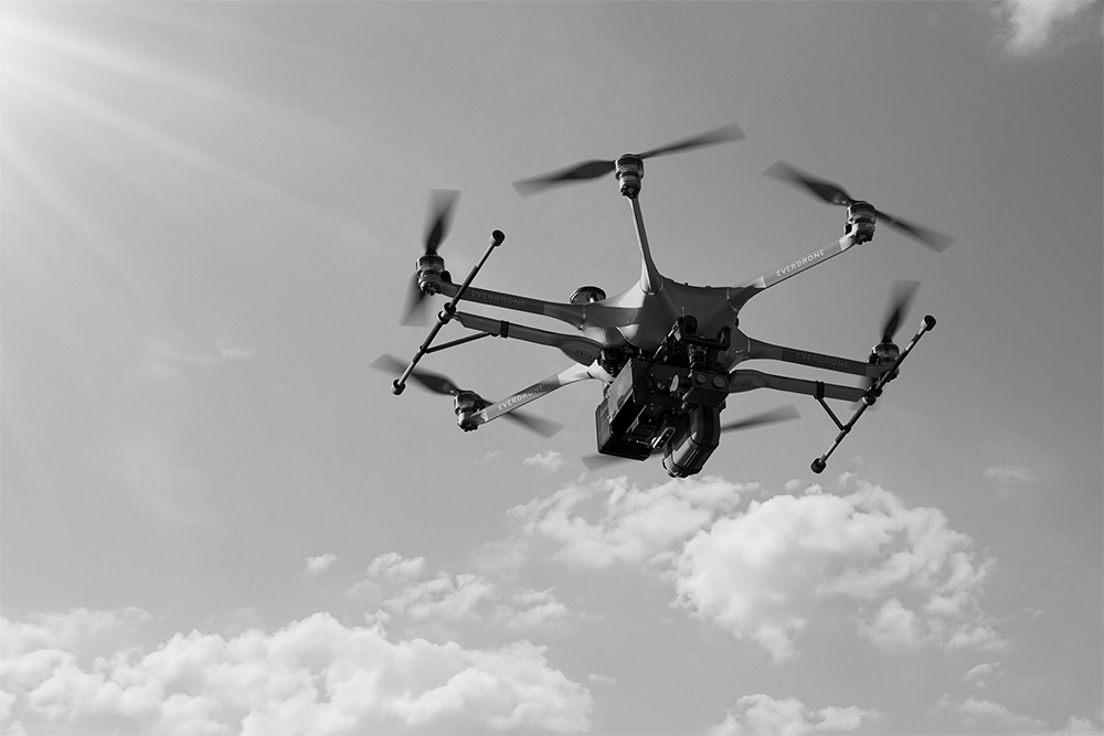
Recently, we have been working on tweaking the algorithms used to perform precision landings and near-earth navigation. Everything shown in this film is carried out with the GPS system disabled, using only our system for autonomous visual navigation.
By the use of onboard cameras, state-of-the-art depth-sensors and motion capture technology we keep the drone steady and reliable in the air and perform landings with centimetre precision. Work is ongoing to refine the algorithms even further and make the system even more precise and reliable regardless of landing conditions.
Stay updated and follow our progress at facebook.com/everdrone.


